Cannon Valley Elder Collegium Course - On-Site
There will be a course being held on-site on September 28th and October 5th hosted by the Cannon Valley Elder Collegium (CVEC). For more information visit their website: https://cvec.org/. You must be registered.
Course Details:
Gary Wagenbach and Paul Zunkel: Landscapes of Rice County, MN—History at the Prairie-Forest Boundary
Eight Mondays, 1:30-3:30; Sept. 14 – Nov. 2; weeks 1-4 in the field, weeks 5-8 in NCCC #222; Enrollment limit: 16
Gary Wagenbach (Former President of Valley Grove Preservation)
Gary Wagenbach is Winifred and Atherton Bean professor of Biology Science, Technology, and Society emeritus at Carleton. Gary taught a variety of courses in biology and environmental studies. Among other places, his professional work has taken him to the Great Barrier Reef in Australia; to marine centers in Bermuda, California and Washington State (among others); and to Myanmar. He has introduced college students, high school science teachers, neighbors, and many other people to the local Northfield/Rice County landscape. He has taught several courses for CVEC during the last 15+ years. gwagenba@gmail.com
Paul Zunkel is a former (2018-2023) assistant professor of Earth Science and former (2019-2023) director of the Aber Geospatial Analysis Laboratory at Emporia State University in Emporia, Kansas. His research and teaching focused on two main areas: environmental change through time and the human-environmental interactions of severe weather phenomena with human populations. Paul is currently a GIS technician within the Assessor’s Office at Rice County.
Paul.Zunkel@RiceCountyMN.gov
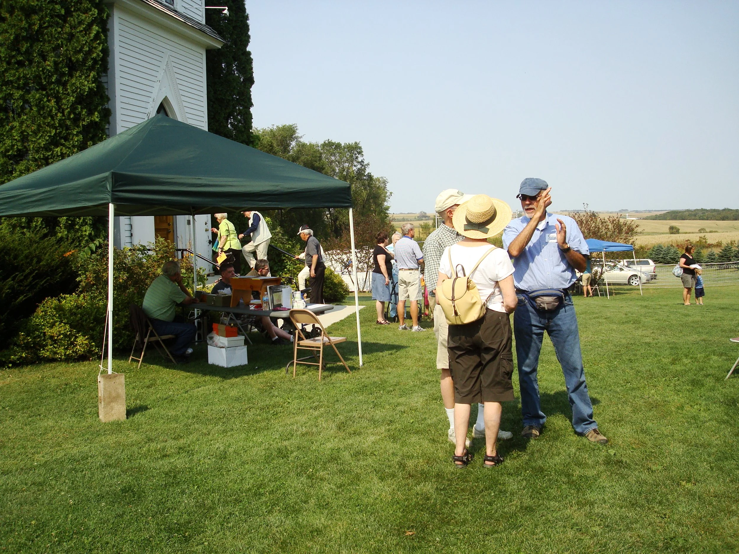
Overview: If asked to describe the topography of Rice County, many people, even long-time residents, might say “flat.” Not so! Participants in this course will observe and describe the landscape near the Valley Grove churches, a deep dive into a small part of the county. This area of elevated ridges and deep valleys sits astride three of the five biomes of Minnesota: Hardwood Forest, Tallgrass Prairie, and, between forest and prairie, Oak Savanna. Before Europeans arrived, Oak Savanna once covered about 10% of Minnesota; now only a hundredth of that 10% remains. The Valley Grove landscape also records a geologic history that goes back more than 400 million years. Thanks to glacial ice advances in the last few million years, the Rice County landscape also has samples of much older rocks, some 2.7 to 3.6 billion years old, from northern Minnesota. The modern landscape also reflects human settlement and management, which may go back as far as about 12,000 years.
Course Materials and Class Schedule: In this course, participants will make direct field observations of vegetation, soils, water, and other features at key sites, especially during the first four class periods. These observations will be supplemented by indoor explorations of topographic maps, aerial photos, LIDAR images and the interpretive GIS-based maps derived from these sources. Participants will try their hands at sketching some of the land and water features. Readings about the natural and human history will also be discussed. While we will visit key sites together, the instructors will also recommend (optional) places that participants can visit on their own. Walking will be about 1-3 city blocks in length for the outdoor activities. Gary and Linda Wagenbach’s 80-acre forest and prairie restoration protected by a conservation easement will be the nexus of our endeavors, with side trips to nearby sites. Before the first class, we will organize car transportation, including car-pools. From areas accessible by cars, we will travel via tractor and trailer.
There will be occasional readings, some from Leopold (Aldo Leopold. A Sand County Almanac and Sketches Here and There. C. 1949) and Watts (May Theilgaard Watts. Reading The Landscape of America. C. 1957) in preparation for class. Books are available on Bookfinder.com and other sources. Maps will be sent as PDFs, or shown on screen in the classroom (NCCC 222). These materials will be sent to students either as email attachments or passed out in hard copy ahead of time in class.
Weeks 1-4 will be outdoors as conditions permit (September). If conditions do not permit, an alternative indoor location (TBA) will be available. Weeks 5-8 will be mostly indoors at NCCC #222 (October). For weeks 1-4, participants will need to wear and bring: clothing for the day and outside weather; sturdy shoes suitable for both dry and wet conditions; (optional) walking sticks for stability; day pack; water; snack; camera (optional), sketch book (recommend size about 6×9” to 8.5×11” with paper suitable for pencil/pen and spiral binding – available from local sources) (color pencils optional).
Week 1: Travel to field site on the Wagenbach property; Introductions. On-site field study of a DNR-listed oak savanna and associated landscape. Observe and describe (e.g. sketch, write, etc.) selected elements of this two-acre remnant.
Week 2: Return to oak savanna field site. Discuss the physical setting of this site, including water and soil. Share observations and sketches. Frame more questions and show and discuss your observations. Reading: Léopold – Chapters “April” and “February”.
Week 3: Expand exploration of the larger setting for locations studied weeks 1-2 to include nearby water ways, forest, and the Valley Grove oak savanna restoration. Introduction to rocks (Treblehorn rock pile), soils, and bioturbation (Badger sign) as time permits.
Week 4: Visit upstream sites on Prairie Creek for observation and description. Develop a topographic profile for Prairie Creek from phone-app estimates of elevation.
Week 5: Examine and discuss air photos, LIDAR, soils maps, and GIS-maps of Prairie Creek. Use field observations from weeks 1-4 and these tools to make a summary drawing of water pathways of the Prairie Creek watershed. Compare with the much smaller Spring Creek watershed near and in Northfield.
Week 6: Why are Prairie Creek and nearby landscapes the way they appear? Try your hand at formulating explanations for patterns we have identified during Weeks 1-5. Reading: Watts. Chapters 6-7.
Week 7: Did glaciers shape the sites we are studying? Does the label “Driftless” apply?
Week 8: Final discussion (touching on a class selection of questions from our studies). Topics may include: How does a landscape history of a small area inform the history of a larger area? What is the “Big Woods Corridor”? The “Prairie Peninsula?” How did Native Americans settle and use the resources of Rice County? How did the landscape evolve after European settlement began? Who uses the landscape now – and what effects can be seen? What is the future of these landscapes with climate change? Is Leopold’s Land Ethic applicable to our study area? Selected maps will be sent as PDFs. Reading: Leopold. “Part III, The Upshot”.